Landscape Series
2025 -
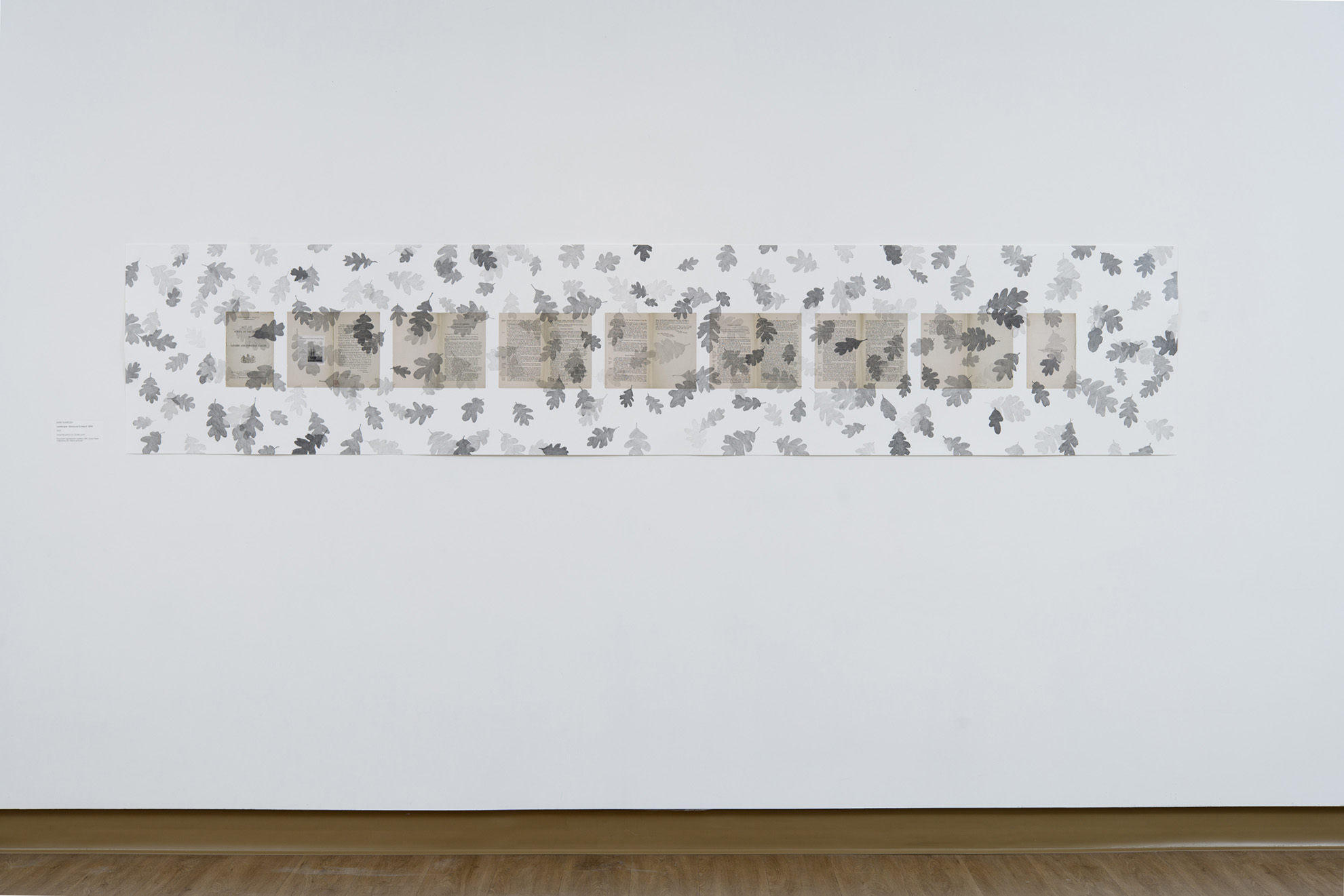
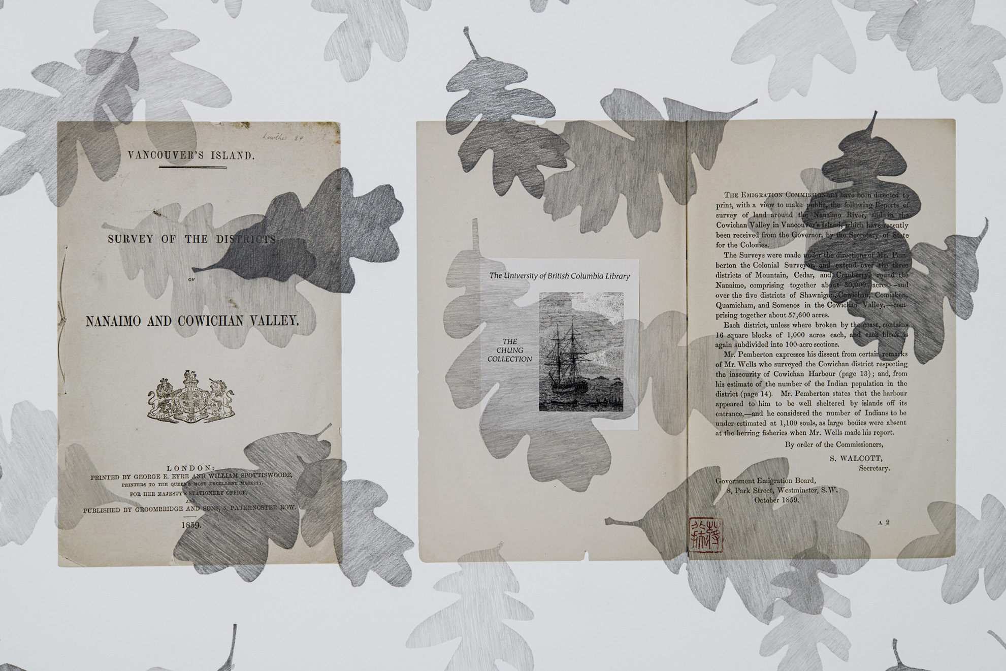
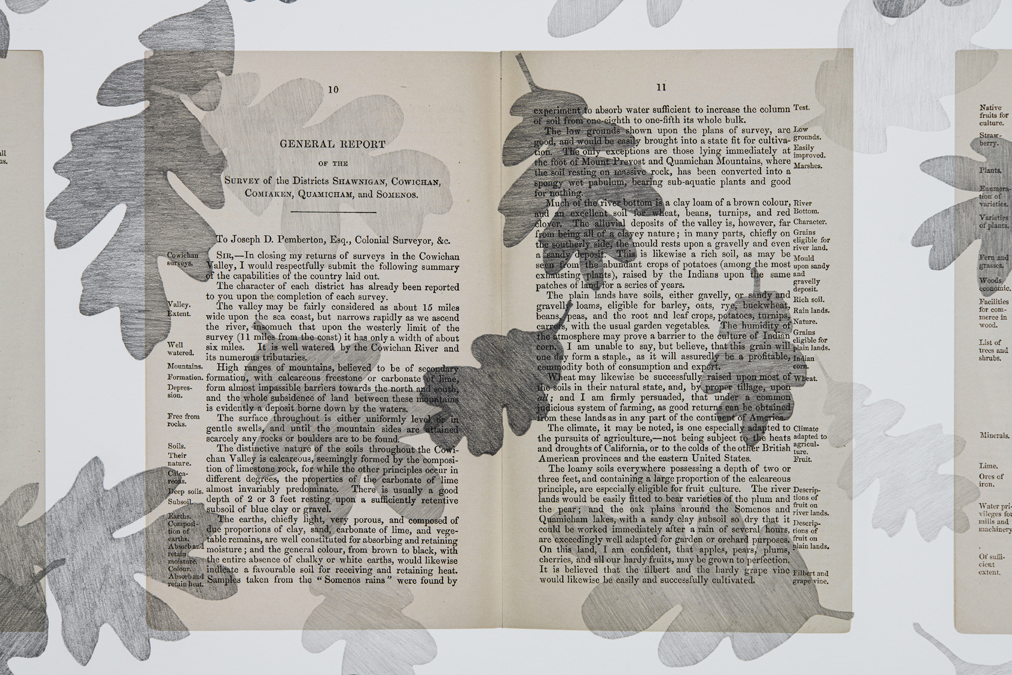
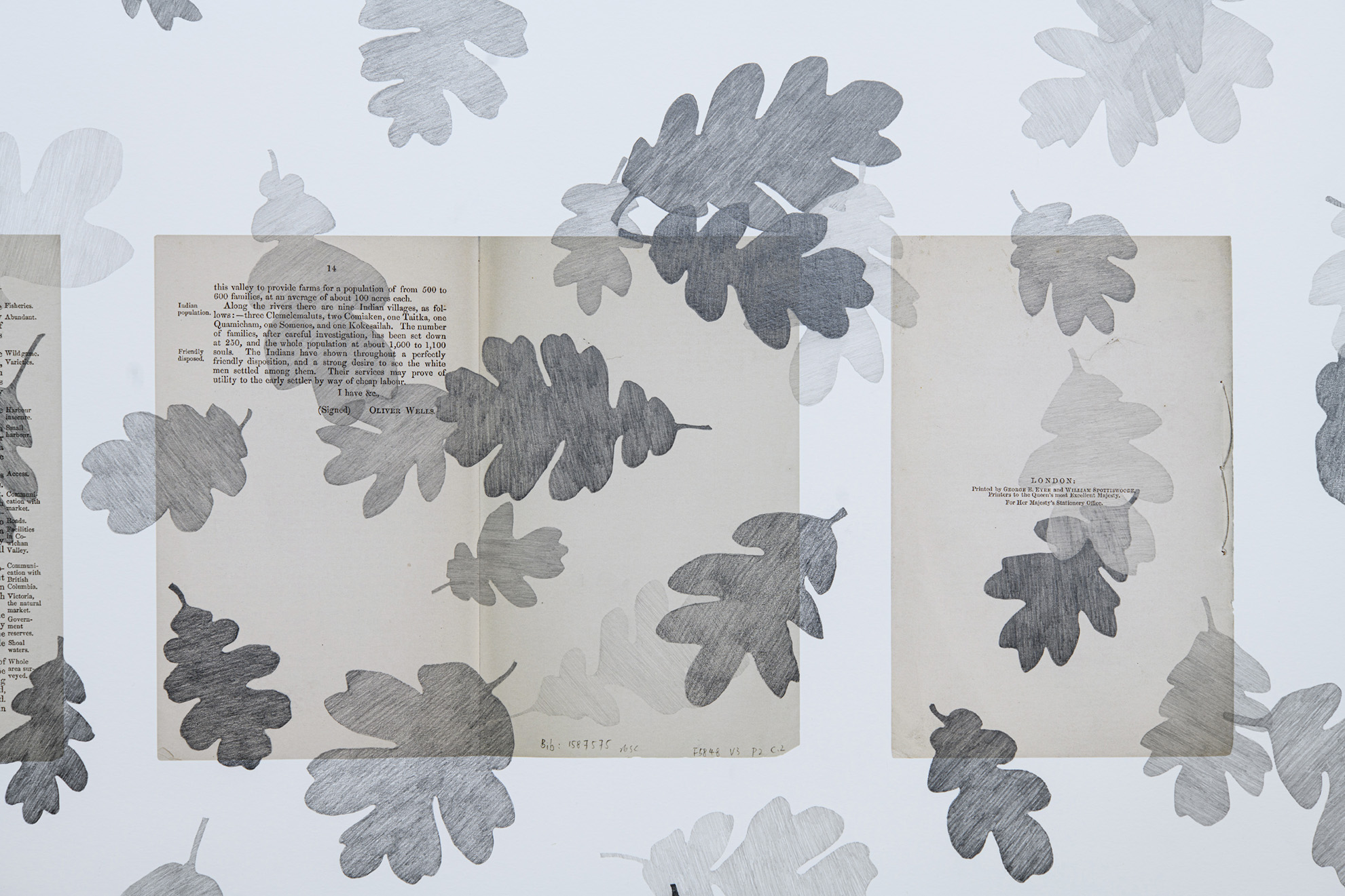
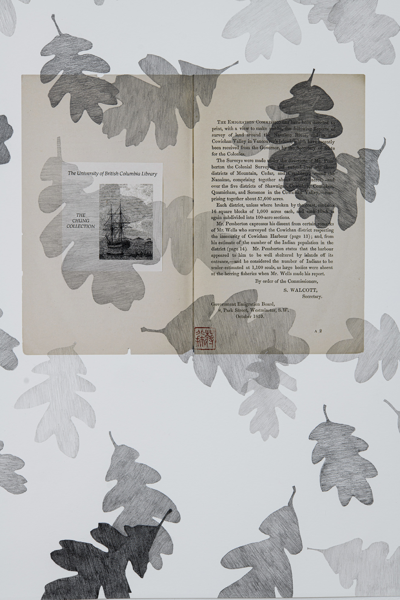
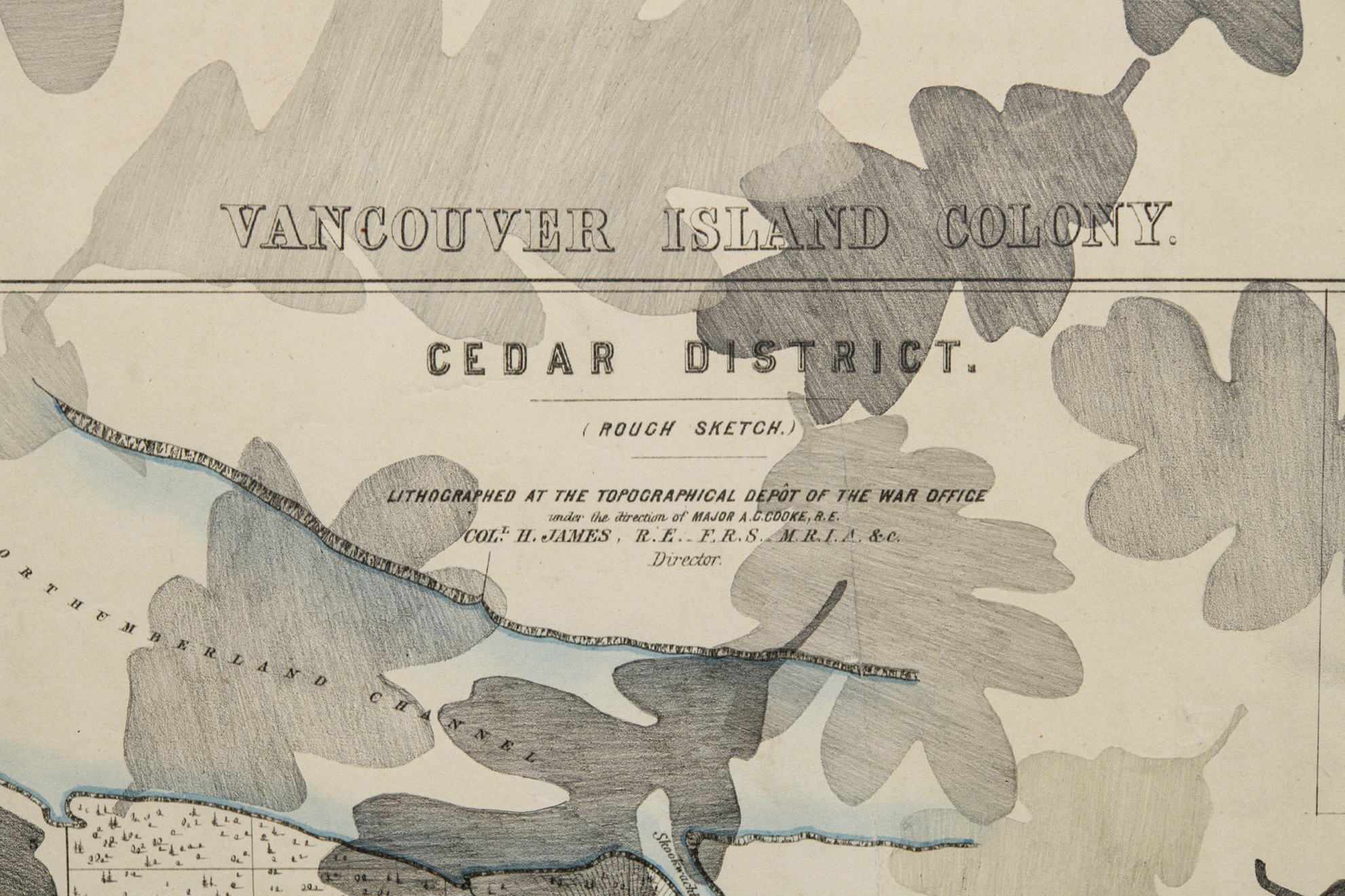
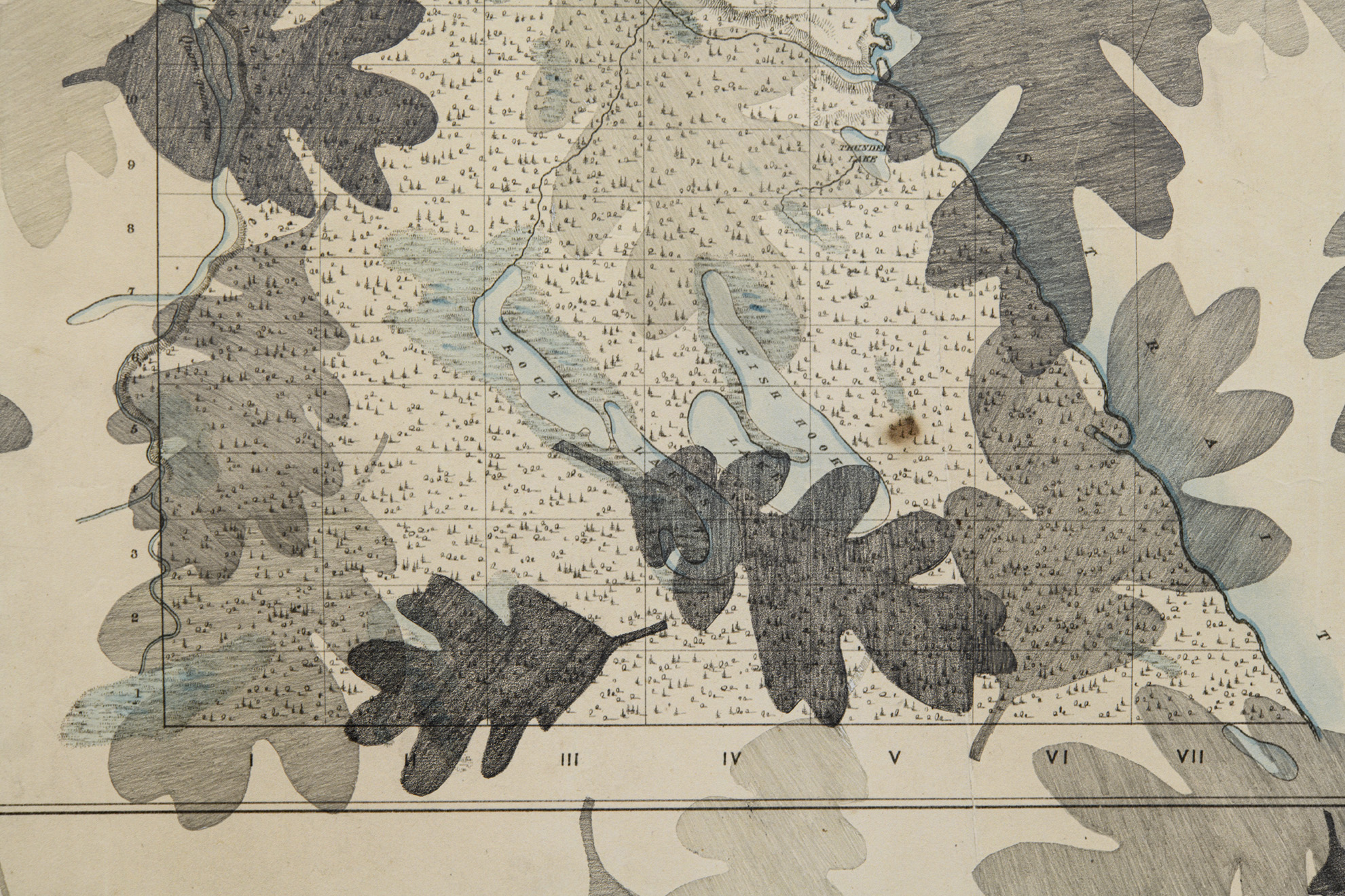
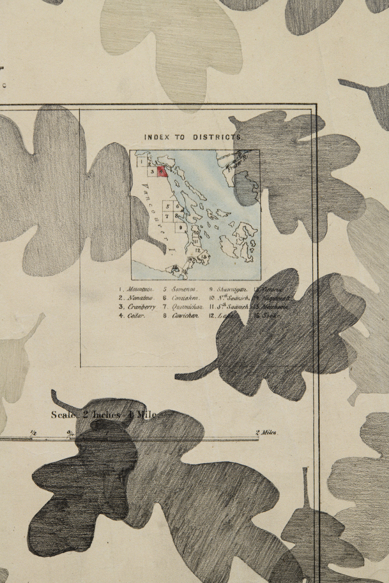
Landscape Series coalesced around the historical document Vancouver’s Island Survey of the Districts of Nanaimo and Cowichan Valley (1859). This document was printed in London in 1859 and circulated to prospective British emigrants along with a series of maps: four maps of the Nanaimo area, and five maps of the Cowichan area. These were the first Official printed maps of this part of Vancouver Island issued by the Colonial Office and subsequently used to grow their colonial project.
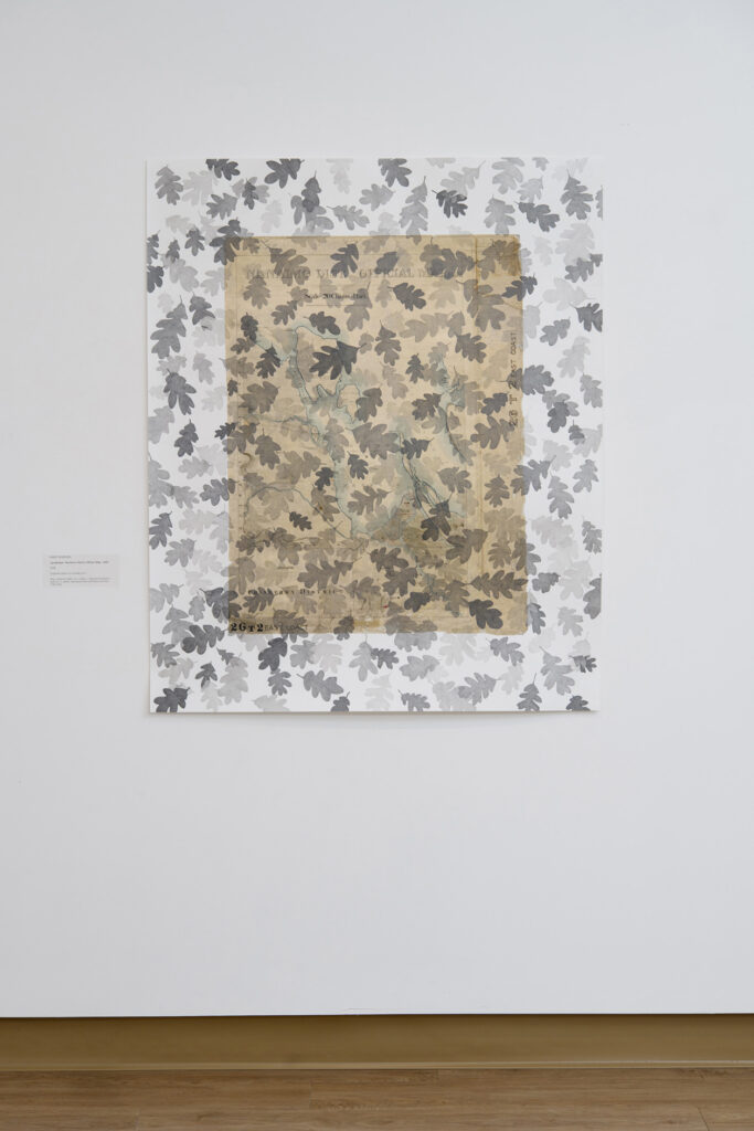
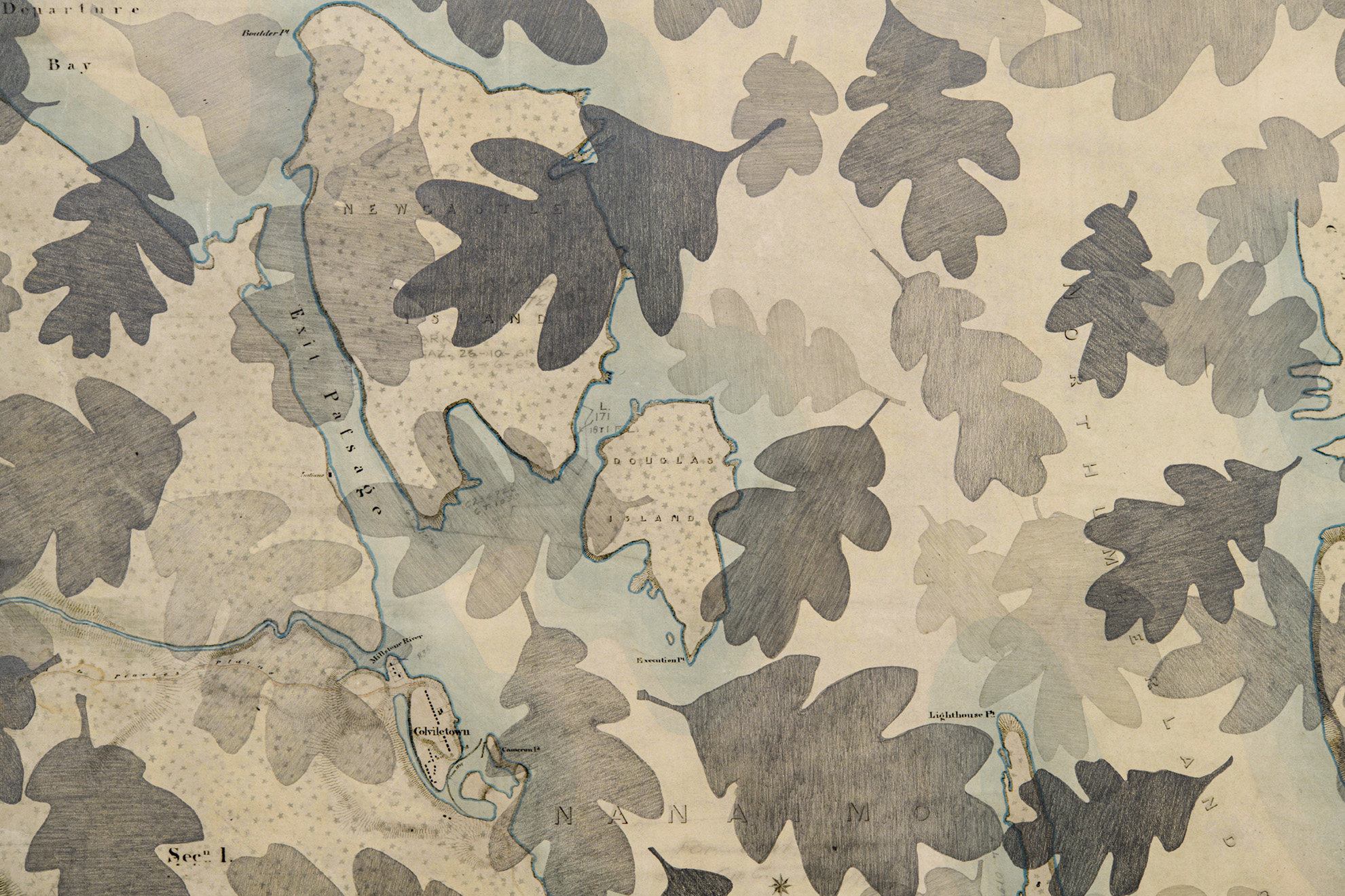
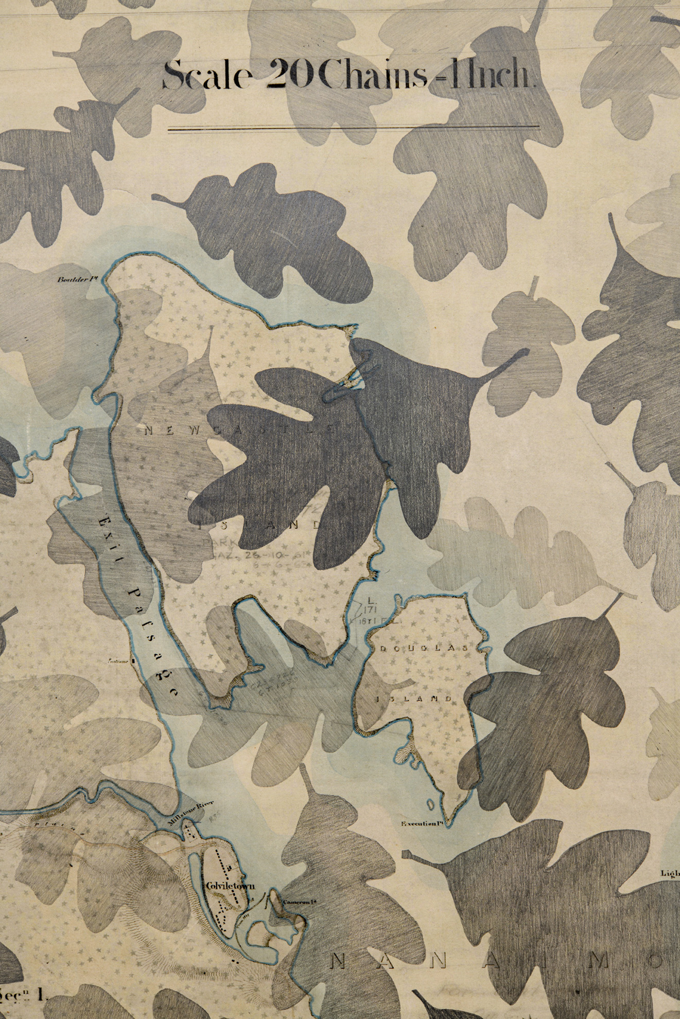
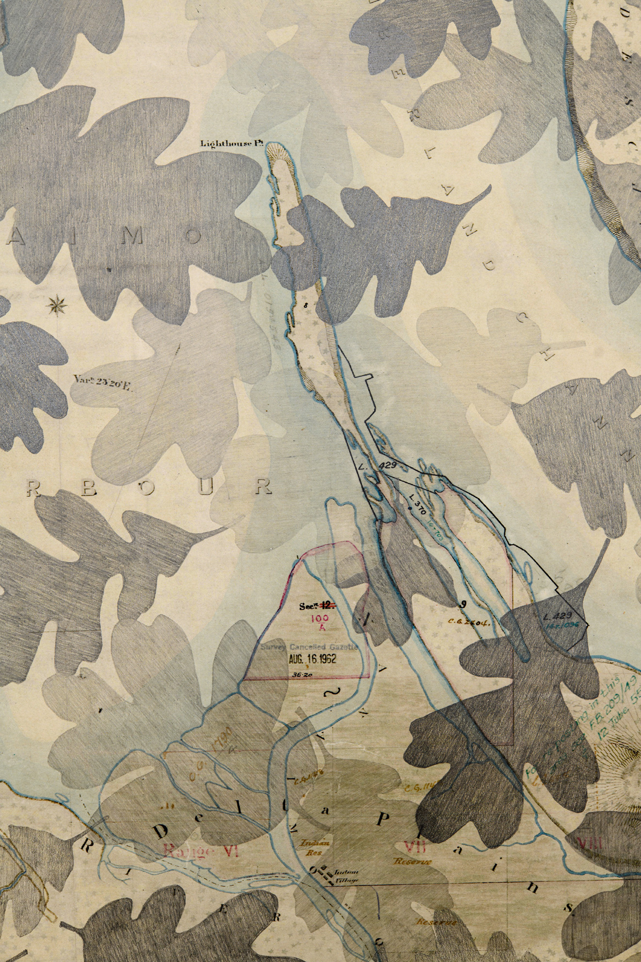
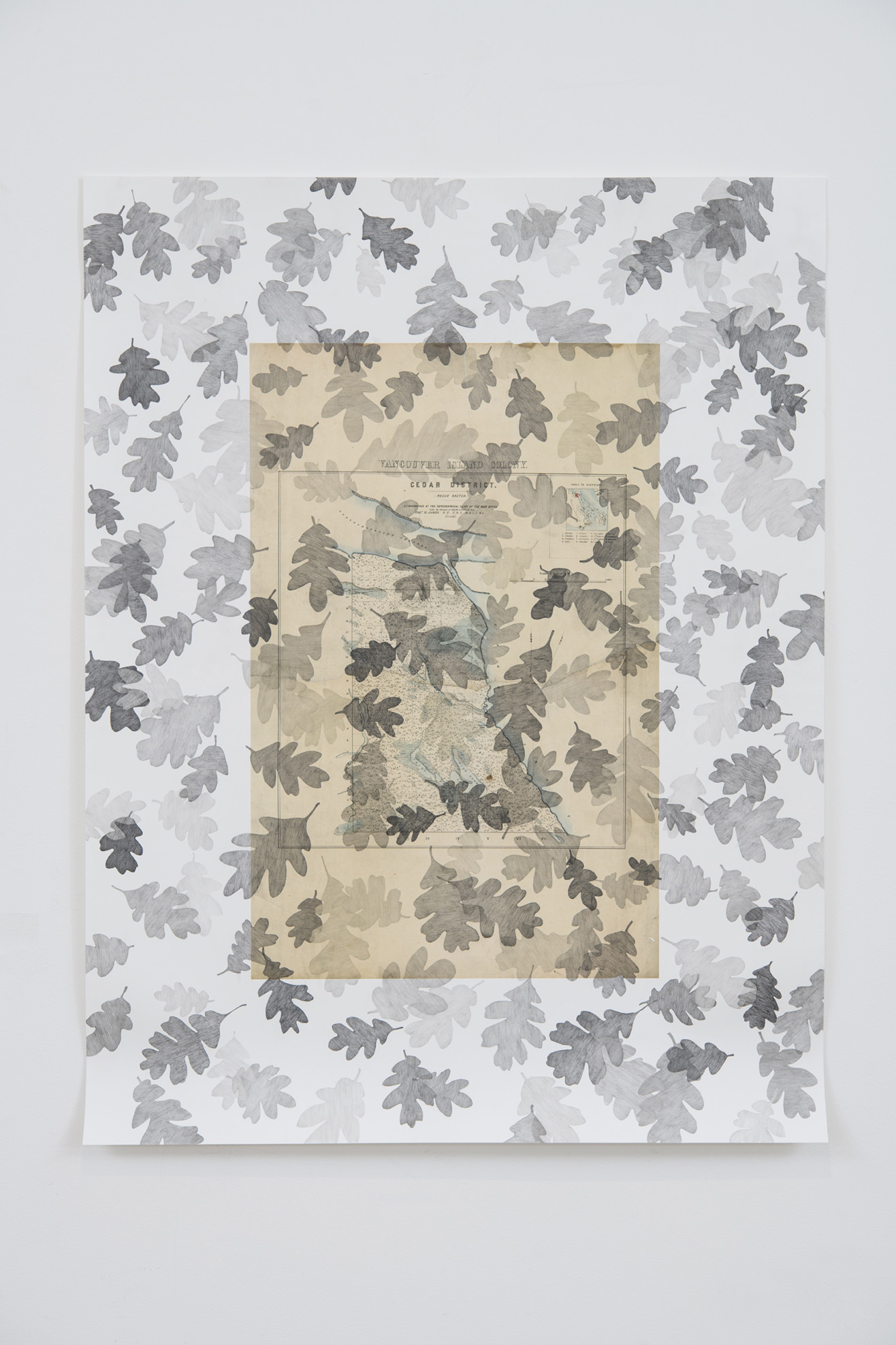
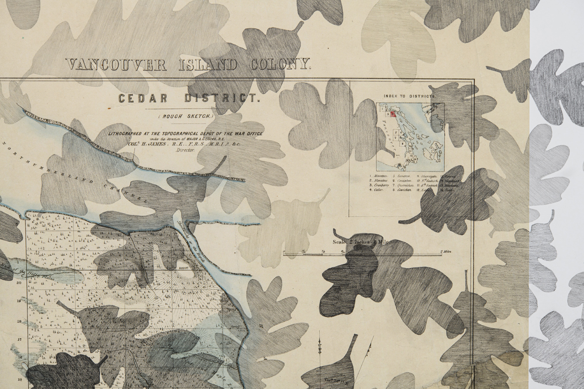
In Landscape Series I pursue my use of the Garry oak/p'hwulhp leaf as a metaphor for Indigenous and Colonial history in relation to the land and to environmental issues on Vancouver Island and the Southern Gulf Islands. Using life-size photographic reproductions of these historical documents as a drawing surface, I have employed a tonal range of graphite pencil using hand-made stencils to reproduce unique oak leaves, creating an all-over veil of leaves covering the entire surface of the photograph.
Landscape: Vancouver’s Island, 1859
2025
305cm x 61cm
Graphite pencil on Giclée print
Document reproduction courtesy UBC Library Open Collections: BC Historical Books.
Landscape: Nanaimo District Official Map, 1859
2026
103cm x 126cm
Graphite pencil on Giclée print
Map created by Major A.C. Cooke, J. Despard Pemberton, and Col. H. James. Reproduced with permission from the LTSA of BC.
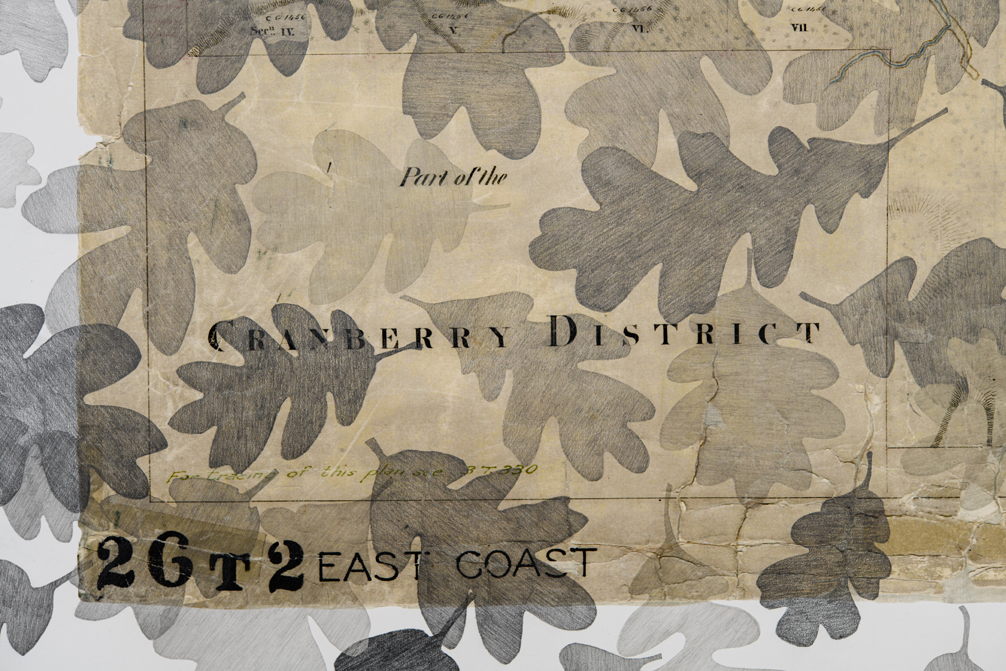
Landscape: Cedar District, 1859
2026
81cm x 106cm
Graphite pencil on Giclée print
Map created by Major A.C. Cooke, J. Despard Pemberton, and Col. H. James and reproduced courtesy UVic Library Special Collections.
All photographs on this page were taken by Sean Fenzl.